• Elevate Your Perspective


    Professional drone services for aerial photography, videography, surveying, and inspections. Experience the world from soaring viewpoint with stunning clarity and precision through our service.

    Contact

    Leading the Sky with Innovation

    Aerial Dream Tech has been pioneering aerial services since 2019, delivering exceptional results for clients across industries. Our passion for flight and commitment to excellence drives us to capture perspectives that inspire and inform.

    From real estate showcases to construction monitoring, from cinematic productions to agricultural surveys, we bring a unique aerial perspective to every project. Our team combines technical expertise with creative vision to deliver results that exceed expectations.


    Licensed & Insured

    Fully licensed FAA Part 107 certified
    pilots with comprehensive insurance coverage
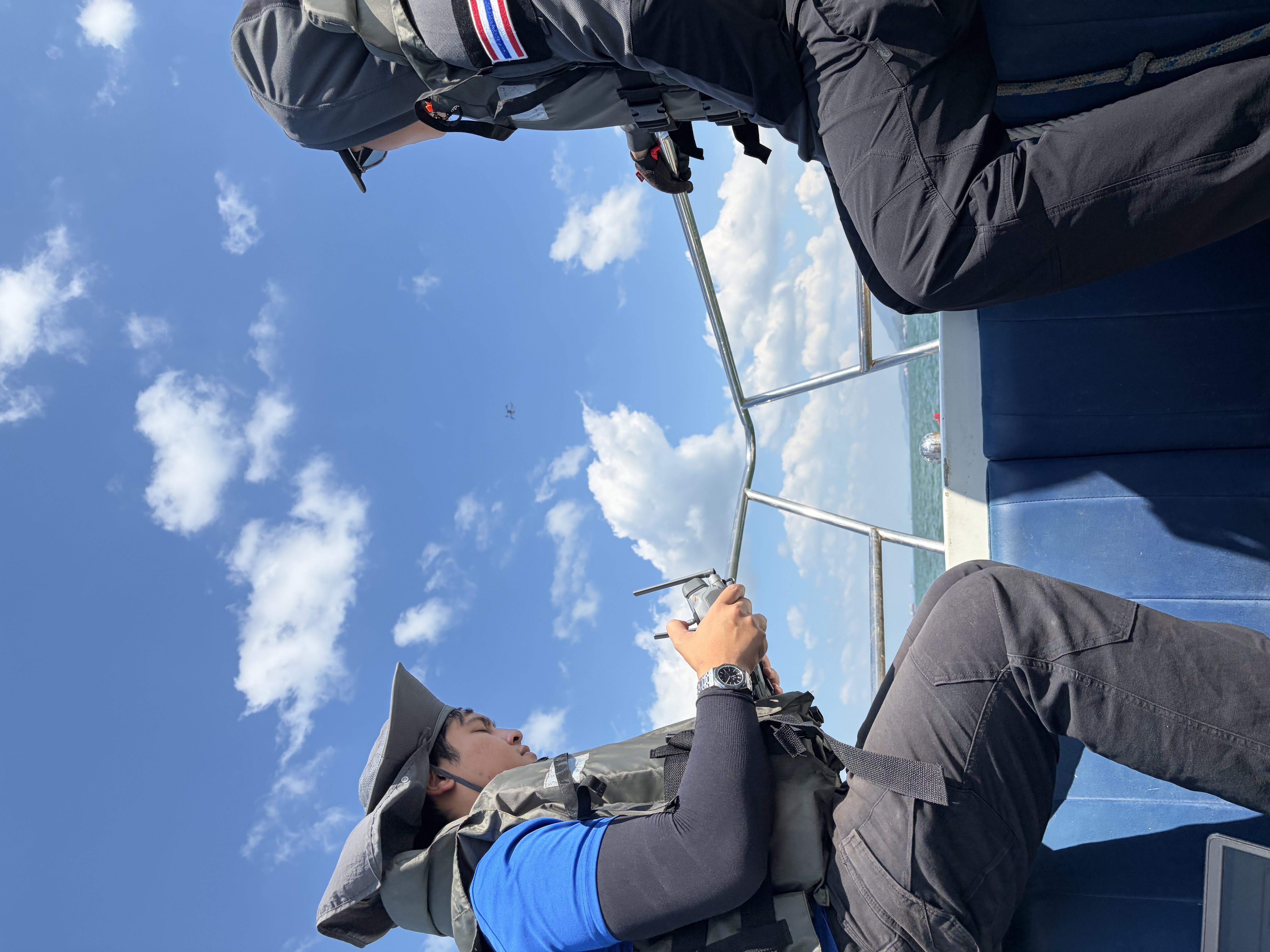
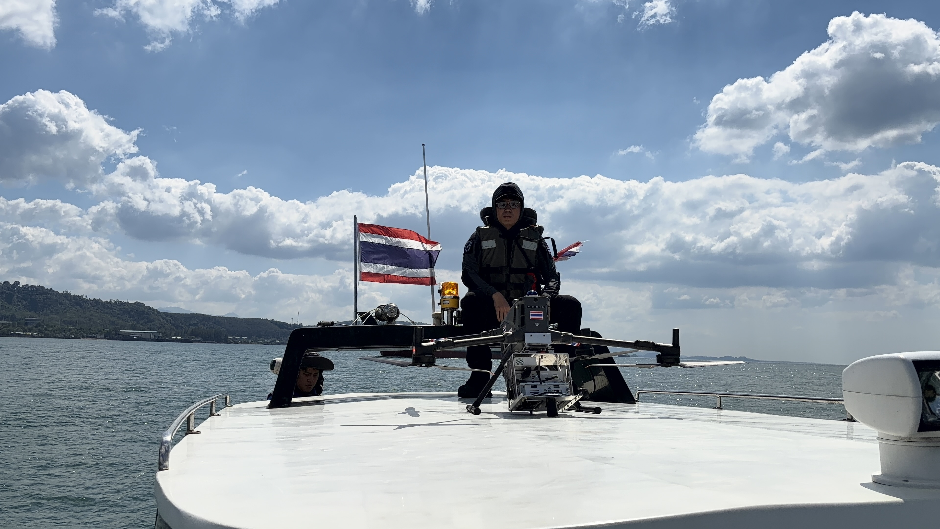
    Expert team

    Professional pilots and photographers with years of experience
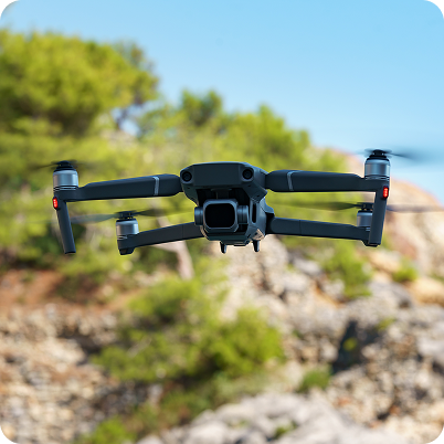
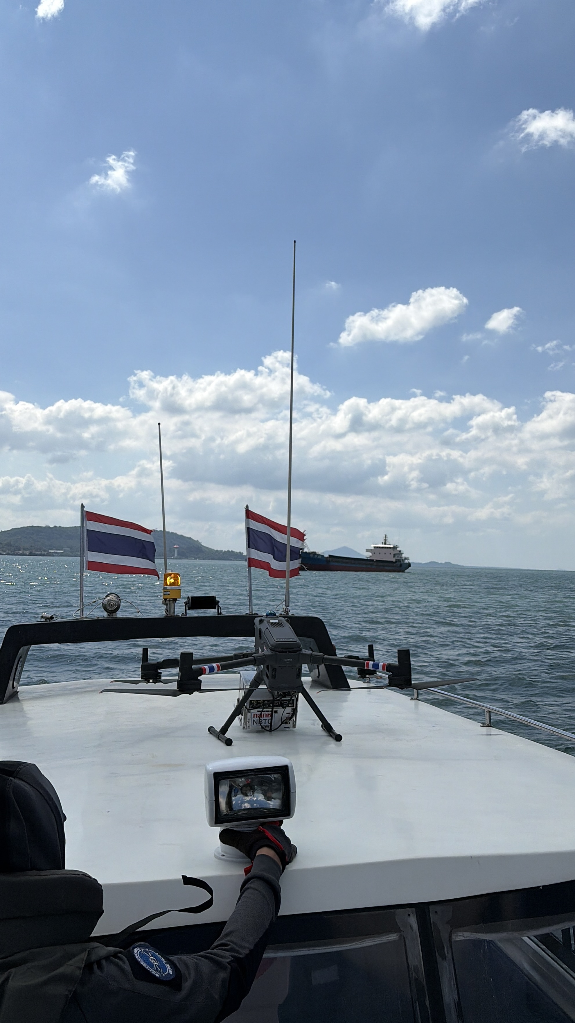
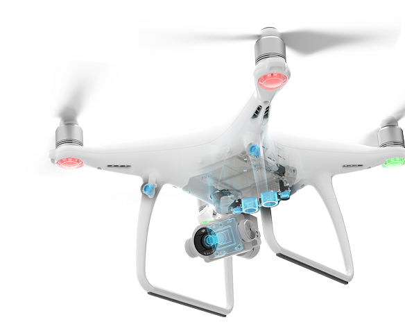
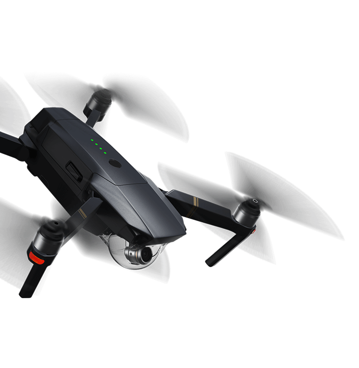
    Newest Technology

    State-of-the-art drones and camera equipment for superior results

    Our Services

    From creative aerial photography to industrial inspections, we deliver comprehensive drone solutions tailored to meet your specific needs with precision and professionalism.


    Aerial Photography

    Capture stunning high-resolution aerial photographs that showcase your subject from breathtaking perspectives with professional-grade equipment.

    • Ultra HD Resolution
    • Same Day Delivery
    • Professional Color Grading
    • Multiple Angles

    Aerial Videography

    Create compelling cinematic aerial videos with smooth movements, professional stabilization, and expert post-production editing.

    • 4K Video Recording
    • Multiple Video Formats
    • 3-Axis Gimbal Stabilization
    • Cinematic Color Grading

    Real Estate Marketing

    Elevate property listings with stunning aerial photography and videography that showcases properties from their best angles.

    • Virtual Tour Creation
    • MLS Ready Images
    • Golden Hour Photography
    • 360° Property Views

    Construction Monitoring

    Comprehensive construction progress documentation with regular aerial surveys, time-lapse creation, and detailed reporting.

    • Weekly Progress Reports
    • 3D Site Mapping
    • Time-lapse Photography
    • Safety Compliance Monitoring

    Surveying & Mapping

    Precision aerial surveying and detailed topographical mapping with GPS accuracy and CAD-compatible deliverables.

    • GPS Precision Mapping
    • Volume Calculations
    • CAD Compatible Files
    • Contour Line Generation

    Infrastructure Inspections

    Safe and efficient inspection of hard- to-reach infrastructure with thermal imaging and comprehensive assessment reports.

    • Thermal Imaging Analysis
    • Risk Assessment
    • Condition Assessment Reports
    • Safety Standards Compliance

    Our Work

    From real estate showcases to construction monitoring, from cinematic productions to agricultural surveys, we bring a unique aerial perspective to every project. Our team combines technical expertise with creative vision to deliver results that exceed expectations.

    Drone Survey 1
    Drone Survey 2
    Drone Survey 3

    Drone Photography & Survey

    Conducted drone operations for aerial photography and videography using drone solutions for survey and aerial data collection, including flight planning, drone control, and capturing visual data for analysis and operational support.

    Read More